














News

weather
Posted: Dec 15, 2019 9:17 AMUpdated: Dec 15, 2019 9:30 AM
WINTER WEATHER ADVISORY-ICE, SNOW

TONIGHT TO 6 PM CST MONDAY FOR PORTIONS OF NORTHEAST OKLAHOMA...
Osage-Washington OK-Nowata-Craig-Pawnee
Expect a mix of wintry weather expected late tonight into Monday.
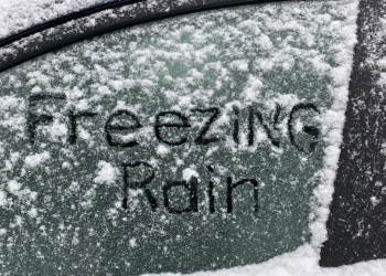
Areas of freezing drizzle will develop after midnight across portions of far northeast Oklahoma. A period of freezing rain will be likely into the day Monday with precipitation transitioning to a freezing rain, snow mix along the Oklahoma/Kansas border.
The wintry precipitation will shift east of the region by early Monday evening.
Total snow accumulations up to one inch possible along the Oklahoma, Kansas state line. Ice accumulations up to one tenth of an inch with the highest totals across Osage and Washington counties.
Plan on the potential for slippery road conditions.The hazardous conditions could impact the morning and evening commute Monday. A glaze is likely on elevated surfaces.
Some minor ice accumulation on trees and power lines possible. Untreated bridges and other elevated surfaces will likely become slippery due to the freezing rain and snow.
Slow down and use caution while traveling. For the latest road conditions call 1-844-465-4997 or go to okRoads.org.
« Back to News

